OpenStreetMap
OpenStreetMap (OSM) is a collaborative project to create a free editable map of the world.
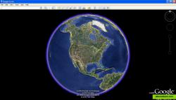
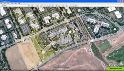
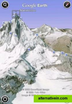
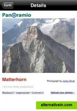
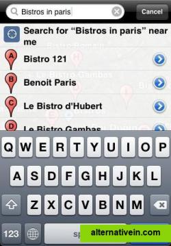
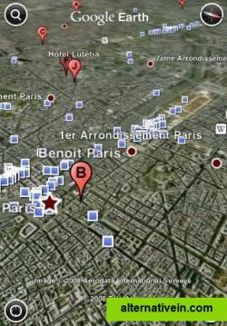
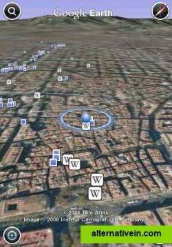
Google Earth lets you fly anywhere on Earth to view satellite imagery, maps, terrain, 3D buildings, from galaxies in outer space to the canyons of the ocean.
Google Earth lets you fly anywhere on Earth to view satellite imagery, maps, terrain, 3D buildings, from galaxies in outer space to the canyons of the ocean. You can explore rich geographical content, save your toured places, and share with others.
Available also on Android and iPhone: see http://www.google.com/intl/en/mobile/earth/
Official Website
Facebook
Twitter
Productivity Developer Tools Travel and Location
google-drive-integration maps map-viewer geographic satellite geospatial-applications virtual-globe
OpenStreetMap (OSM) is a collaborative project to create a free editable map of the world.
Free Open Source Web
Yandex.Maps gives you access to maps of over 1800 cities and towns right in your pocket. Find addresses and companies. Plan your journeys in a car or on public transport taking current traffic conditions into account.
Free Android iPhone Android Tablet iPad Web Blackberry Windows Phone Telegram
With Street View you can explore the world at street level. Explore world landmarks, discover natural wonders, and step inside locations such as museums, arenas, restaurants, and small businesses with Google Street View.
Free Android iPhone Web Google Maps
2GIS provides 3D-maps of 180+ cities, contacts of 1.5 million companies, car routing and public transport routes and and more! 2GIS is a complete and up-to-date directory of organizations with detailed cities’ maps.
Free Windows Android iPhone Android Tablet iPad Web Kindle Fire Blackberry
World Wind lets you zoom from satellite altitude into any place on Earth.
Free Open Source Mac OS X Windows Linux
Modest Maps is a small, extensible, and free library for designers and developers who want to use interactive maps in their own projects.
Free Open Source Mac OS X Windows Linux
TransforMap works towards an online platform for you to visualize the myriads of alternatives to the dominant economic thinking on a single mapping system.
Free Open Source Web
Site that lets you compare the satellite imagery offered by NASA, Yahoo Maps, Microsoft Virtual Earth and more.
Free Web
This program allows work with any maps service if you can describe getting picture by longitude/latitude(if you want you can write config file or simplepascal script to describe how obtain needle photos).
Free Windows

