Google Maps
Google Maps is a basic web mapping service application and technology provided by Google.
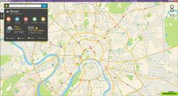
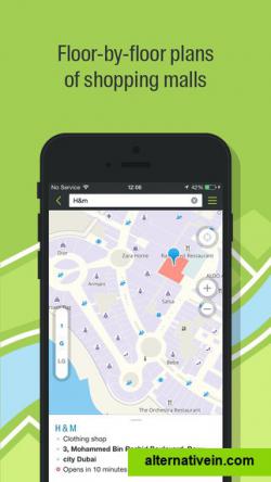
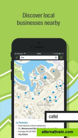
2GIS provides 3D-maps of 180+ cities, contacts of 1.5 million companies, car routing and public transport routes and and more! 2GIS is a complete and up-to-date directory of organizations with detailed cities’ maps.
2gis provides 3dmaps of 180+ cities, contacts of 1.5 million companies, car routing and public transport routes and and more! 2gis is a complete and uptodate directory of organizations with detailed cities’ maps.
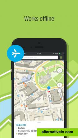
2gis — offline maps and business listings. verified information about restaurants, bars, hotels and any location with photo and review. helpful travel guide. navigation: get car directions, public transport routes including metro.
most detailed city mapa 3d city map showing the finest details, including driveways and fences. it is available online and can be downloaded as an offline application for pc and smartphones.
contact details of all organizationsa userfriendly search engine and detailed information on all city companies, from state agencies to nearby kiosks, including addresses, phone numbers and working hours.
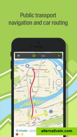
public transport routes2gis shows the exact location of transport stops with correspondent transport routes. you can see the whole transportation network of the city.
Official Website
Twitter
Facebook
Productivity Developer Tools Social Phots and Graphics Travel and Location
maps 3d-graphics offline-maps navigation route-mapping 3d-maps
Google Maps is a basic web mapping service application and technology provided by Google.
Free Android iPhone Android Tablet iPad Chrome OS Web Blackberry Apple Watch
Google Earth lets you fly anywhere on Earth to view satellite imagery, maps, terrain, 3D buildings, from galaxies in outer space to the canyons of the ocean.
Free Personal Mac OS X Windows Linux Android iPhone Android Tablet BSD iPad
OpenStreetMap (OSM) is a collaborative project to create a free editable map of the world.
Free Open Source Web
Yandex.Maps gives you access to maps of over 1800 cities and towns right in your pocket. Find addresses and companies. Plan your journeys in a car or on public transport taking current traffic conditions into account.
Free Android iPhone Android Tablet iPad Web Blackberry Windows Phone Telegram
Maps gives you turn-by-turn spoken directions, interactive 3D views, and Flyover. All in a vector-based interface that scales and zooms with ease.
Free Mac OS X iPhone iPad Apple Watch
Find your way around the city and keep track of current traffic with your cell phone. Yandex.Navigator is a free satnav app with turn-by-turn voice directions in Russia and Ukraine.
Free Android iPhone iPad
Modest Maps is a small, extensible, and free library for designers and developers who want to use interactive maps in their own projects.
Free Open Source Mac OS X Windows Linux
TransforMap works towards an online platform for you to visualize the myriads of alternatives to the dominant economic thinking on a single mapping system.
Free Open Source Web
This program allows work with any maps service if you can describe getting picture by longitude/latitude(if you want you can write config file or simplepascal script to describe how obtain needle photos).
Free Windows
Location Browser for your iPhone Localscope is a window to your world that lets you explore your surroundings like never before.
Commercial iPhone
Scout is the only app that lets you chat, plan Meet Ups, share your ETA and get turn-by-turn GPS voice directions. Now you can navigate, coordinate and communicate without the hassle of multiple apps.
Freemium Android iPhone Web Windows Phone Apple Watch

