The Best 13 NASA World Wind Alternatives

  • Google Earth icon

    Google Earth

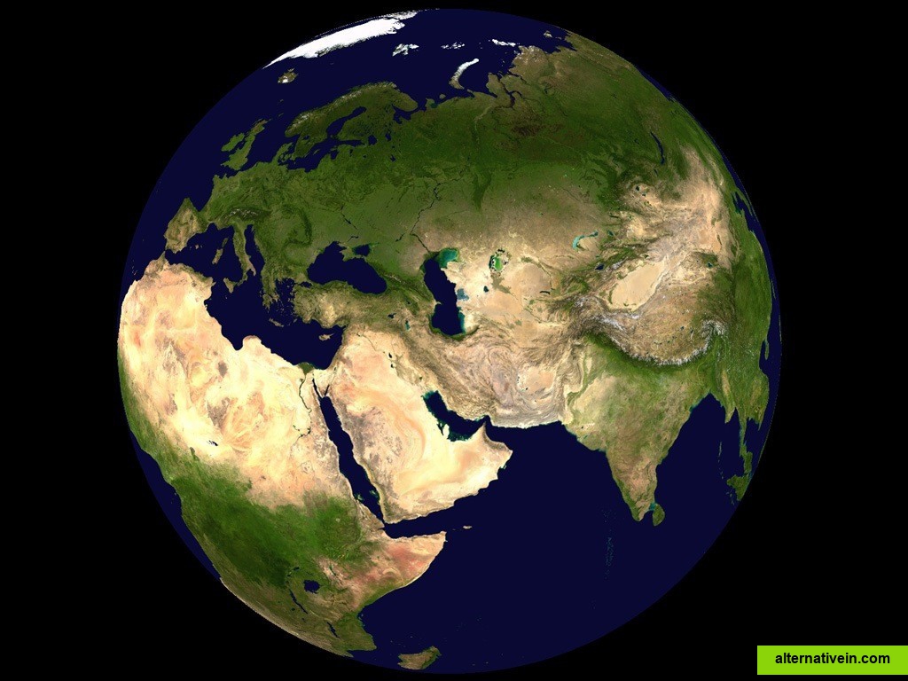
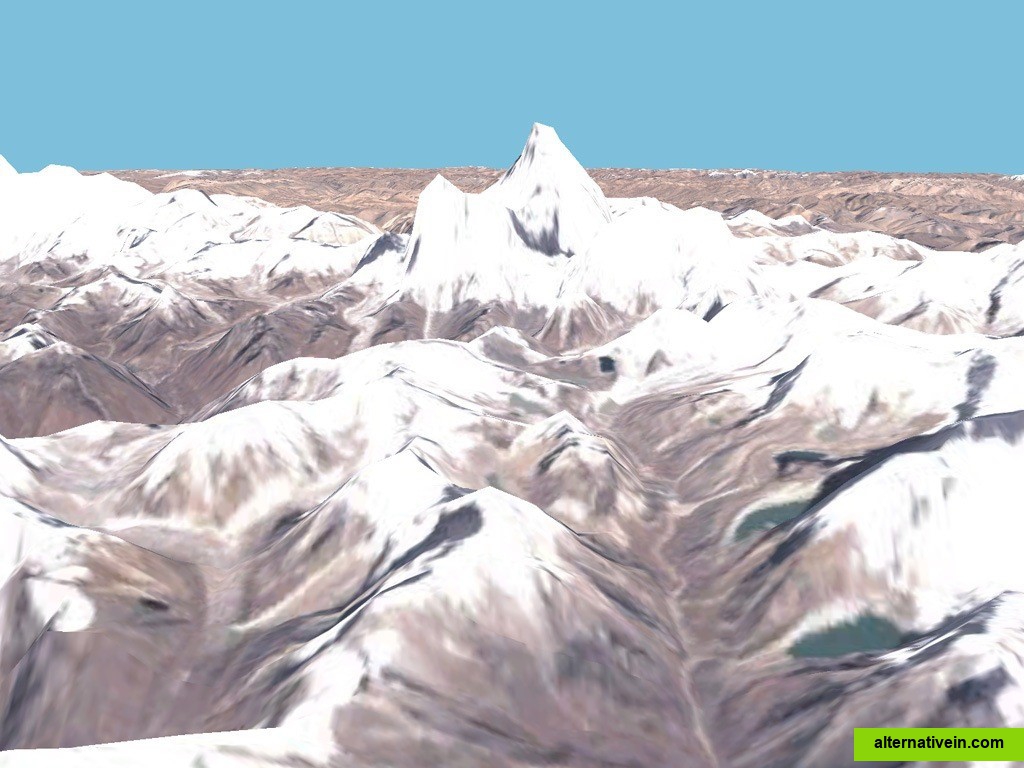
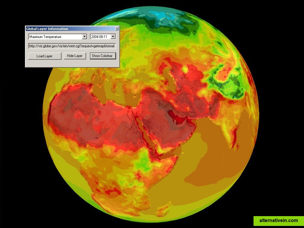
    Google Earth lets you fly anywhere on Earth to view satellite imagery, maps, terrain, 3D buildings, from galaxies in outer space to the canyons of the ocean.

    Free Personal Mac OS X Windows Linux Android iPhone Android Tablet BSD iPad

  • Marble

    Marble is a Virtual Globe and World Atlas that you can use to learn more about Earth: You can pan and zoom around and you can look up places and roads. A mouse click on a place label will provide the respective Wikipedia article.

    Free Open Source Mac OS X Windows Linux

  • GMap.NET

    GMap.NET is great and Powerful, Free, cross platform, open source .NET control. Enable use routing, geocoding, directions and maps from Google, Yahoo!, Bing, OpenStreetMap, ArcGIS, Pergo, SigPac, Yandex, Mapy.cz, Maps.lt, iKarte.

    Free Open Source Windows Windows Mobile

  • Flash Earth

    Site that lets you compare the satellite imagery offered by NASA, Yahoo Maps, Microsoft Virtual Earth and more.

    Free Web

  • SAS.Planet

    This program allows work with any maps service if you can describe getting picture by longitude/latitude(if you want you can write config file or simplepascal script to describe how obtain needle photos).

    Free Windows

  • QTViewer

    Libmini is free software that displays geographic terrain data at real-time. This is an example application of integrating libmini in the Qt user interface. The...

    Free Open Source Mac OS X Windows Linux

  • pTolemy3D

    pTolemy3D projects goal is to provide FOSS tools necessary to build your own 3D GeoWeb application. The Viewer application is similar in concept to Google Earth and World WInd Java.

    Free Open Source Mac OS X Windows Linux

  • TerraExplorer

    TerraExplorer is a powerful, easy to use tool to build, analyze, and navigate high resolution 3D world environments created by fusing aerial and satellite photography...

    Freemium Windows Android iPhone Web Windows Mobile

  • MapSphere

    MapSphere is a manageable way to view and organize geographical data of different kind. This might be raster maps and satellite imagery from various sources, your own information received from GPS, tracks of your friends, whatever you want.

    Free Windows