Google Maps
Google Maps is a basic web mapping service application and technology provided by Google.
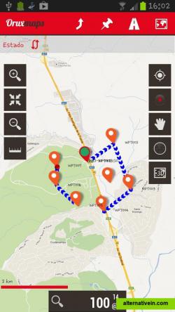
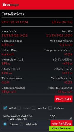
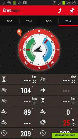
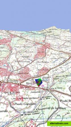
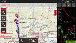
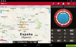
OruxMaps is an online/offline map viewer and track logger for Android. You can use OruxMaps for your outdoor activities (running, trekking, mountain bike, paragliding, flying, nautic sports, etc.
oruxmaps is an online/offline map viewer and track logger for android.you can use oruxmaps for your outdoor activities (running, trekking, mountain bike, paragliding, flying, nautic sports, etc.)
features:
online map viewerthe tiles used online can be cached, and can be used offline aftercreate offline maps from online sourcesbuild composite maps from online map sources, with different values of transparencysupport to wms online mapsoffline map viewer. use maps calibrated with oruxmapsdesktop or mobac (manuals and download section)mapsforge vectorial mapsmaps offline .rmappartial support to garmin vectorial mapsmaps offline .mbtilesmaps offline .ozf2save your tracks, waypoints and poi,sadd photos/videos/audios to the wpts.suport to external gps bluetoothsupport to external heartrate monitors bluetoothsupport to ant+ (cadence, speed, heart rate, steps, temperature)map rotationexport your tracks to different format files (gpx, kml and kmz)import/analize your tracks (gpx, kml and kmz)upload/download tracks from everytrail.comlive tracking with mapmytracks.comupload tracks to gpsies.comupload tracks to trainingstagebuch.orgupload tracks to ikimap.comupload tracks to wikirutas.esupload tracks to openxplora.comconnect with ais devices (wifi, bt, usb)share your position with other people
Offline maps Points of interest (POI)
Productivity Developer Tools Games Social Travel and Location Sport and Health
maps share-location gps-tracking map-viewer offline-maps gpx point-of-interest geocaching multi-layered-maps track-logger
Google Maps is a basic web mapping service application and technology provided by Google.
Free Android iPhone Android Tablet iPad Chrome OS Web Blackberry Apple Watch
Yandex.Maps gives you access to maps of over 1800 cities and towns right in your pocket. Find addresses and companies. Plan your journeys in a car or on public transport taking current traffic conditions into account.
Free Android iPhone Android Tablet iPad Web Blackberry Windows Phone Telegram
2GIS provides 3D-maps of 180+ cities, contacts of 1.5 million companies, car routing and public transport routes and and more! 2GIS is a complete and up-to-date directory of organizations with detailed cities’ maps.
Free Windows Android iPhone Android Tablet iPad Web Kindle Fire Blackberry
Train better with award-winning Sports Tracker app. Your phone becomes a full-featured GPS sport computer, keeping track of everything from calories burned while running to your average cycling speed over altitude.
Freemium Android iPhone Windows Phone Blackberry 10 S60
Zombies, Run! is an ultra-immersive running game and audio adventure, co-created with award-winning novelist Naomi Alderman.
Freemium Android iPhone Apple Watch
Maps gives you turn-by-turn spoken directions, interactive 3D views, and Flyover. All in a vector-based interface that scales and zooms with ease.
Free Mac OS X iPhone iPad Apple Watch
Modest Maps is a small, extensible, and free library for designers and developers who want to use interactive maps in their own projects.
Free Open Source Mac OS X Windows Linux
Turtle Sport is an open source software developed to communicate with GPS devices : Garmin, Suunto, etc. The following functions are available: Retreive your activities from GPS devices.
Free Open Source Mac OS X Windows Linux

