2GIS provides 3D-maps of 180+ cities, contacts of 1.5 million companies, car routing and public transport routes and and more! 2GIS is a complete and up-to-date directory of organizations with detailed cities’ maps.
Free
Windows
Android
iPhone
Android Tablet
iPad
Web
Kindle Fire
Blackberry
2gis provides 3dmaps of 180+ cities, contacts of 1.5 million companies, car routing and public transport routes and and more! 2gis is a complete and uptodate directory of organizations with detailed cities’ maps.
2gis — offline maps and business listings. verified information about restaurants, bars, hotels and any location with photo and review. helpful travel guide. navigation: get car directions, public transport routes including metro.
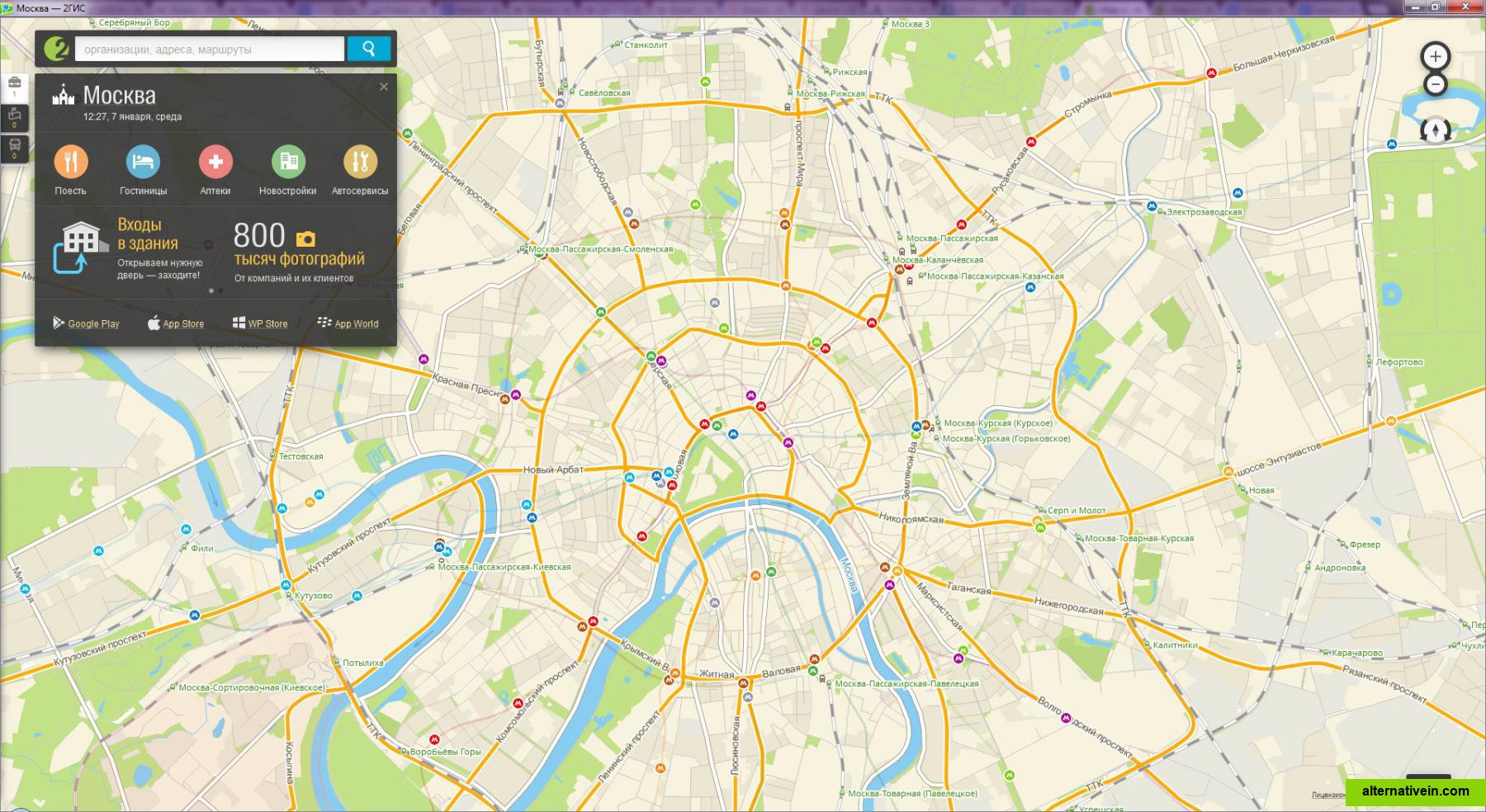
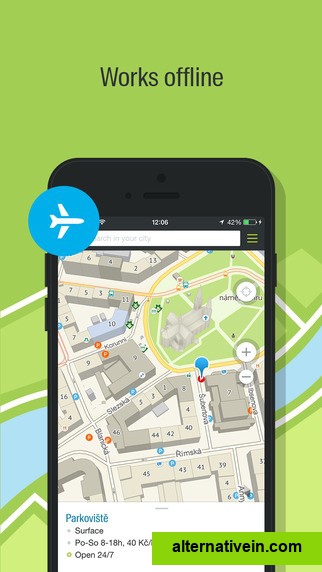
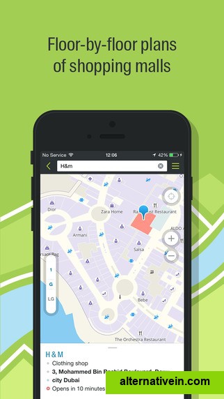
most detailed city mapa 3d city map showing the finest details, including driveways and fences. it is available online and can be downloaded as an offline application for pc and smartphones.
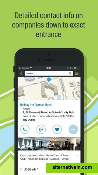
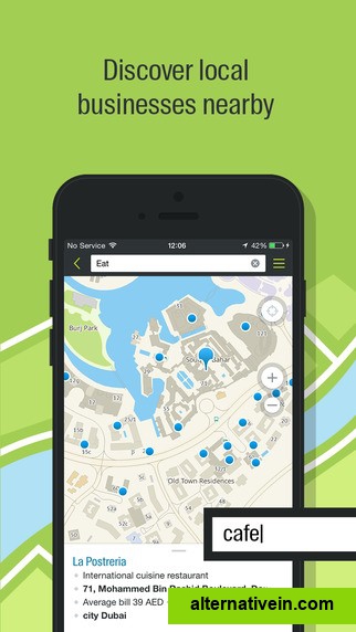
contact details of all organizationsa userfriendly search engine and detailed information on all city companies, from state agencies to nearby kiosks, including addresses, phone numbers and working hours.
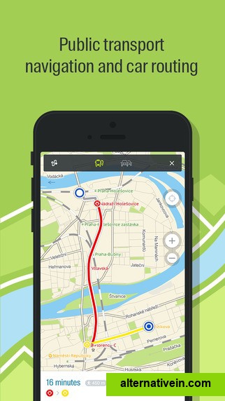
public transport routes2gis shows the exact location of transport stops with correspondent transport routes. you can see the whole transportation network of the city.
Glob is all about contributing to and benefiting from the common good, but not only ! Glob is a sleek combination of the latest car navigation technology and world-class real-time traffic information. You will always choose the best route.
Alternativein is a new approach to finding good application.
Just type what software you want to change and browse great alternatives,
based on our great community recommendations.
 1 Like