OpenStreetMap
OpenStreetMap (OSM) is a collaborative project to create a free editable map of the world.
Designed to run smoothly on devices with limited memory and on unreliable networks.
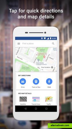
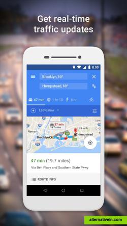
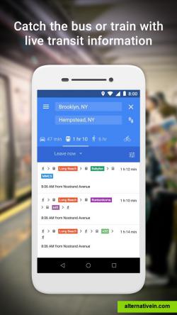
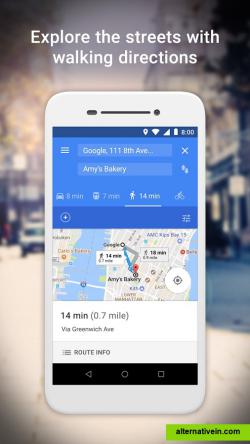
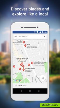
google maps go, the lighter version of the original google maps app. designed to run smoothly on devices with limited memory and on unreliable networks without compromising speed to provide your location, realtime traffic updates, directions, and train, bus, and city transit information. you can even search and find information about millions of places, such as phone numbers and addresses.
• tap for quick directions and map details• get there faster with realtime traffic information• ride the bus or train with live city transit schedules• explore the streets with walking directions
• discover places and explore new places• search and find local restaurants, businesses, and other nearby places• decide on the best places to go with reviews, ratings, and pictures of food• find the phone number and address to a place• save places you want to or visit often, and quickly find them later from your mobile
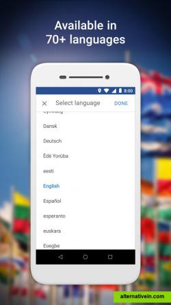
• available in 70+ languages• comprehensive, accurate maps in 200 countries and territories• transit information for nearly 7,000 agencies, more than 3.8 million stations, and 20,000 towns/cities• detailed business information for over 100 million places
note:the app on the google play store is currently available only for devices with android oreo (go edition), but since it's a progressive web app (pwa), i.e. an optimized website that simulates a mobile app, you can use it from any device by visiting the link in the official website button.
Twitter
Facebook
Official Website
Multiple languages Lightweight
Productivity Developer Tools Games Social Travel and Location
multi-language lightweight maps maps-navigation
OpenStreetMap (OSM) is a collaborative project to create a free editable map of the world.
Free Open Source Web
Yandex.Maps gives you access to maps of over 1800 cities and towns right in your pocket. Find addresses and companies. Plan your journeys in a car or on public transport taking current traffic conditions into account.
Free Android iPhone Android Tablet iPad Web Blackberry Windows Phone Telegram
With Street View you can explore the world at street level. Explore world landmarks, discover natural wonders, and step inside locations such as museums, arenas, restaurants, and small businesses with Google Street View.
Free Android iPhone Web Google Maps
2GIS provides 3D-maps of 180+ cities, contacts of 1.5 million companies, car routing and public transport routes and and more! 2GIS is a complete and up-to-date directory of organizations with detailed cities’ maps.
Free Windows Android iPhone Android Tablet iPad Web Kindle Fire Blackberry
An online map built specifically for travel. Great at finding amazing places, planning trips and routes, and much more.
Free Android iPhone Web
Sygic GPS Navigation & Maps is the most advanced GPS navigation app with 3D offline maps from TomTom, accurate door-to-door voice guided navigation and free map updates. Turns your mobile phone into a personal navigation device.
Commercial Android iPhone Android Tablet iPad Windows Phone Apple Watch
Find your way around the city and keep track of current traffic with your cell phone. Yandex.Navigator is a free satnav app with turn-by-turn voice directions in Russia and Ukraine.
Free Android iPhone iPad
Wikiroutes - public transportation database edited by the community. You can find information about certain routes, optimal routes between A and B in more than 1650 cities worldwide. Also have mobile clients.
Free Android iPhone Web

