TerraExplorer
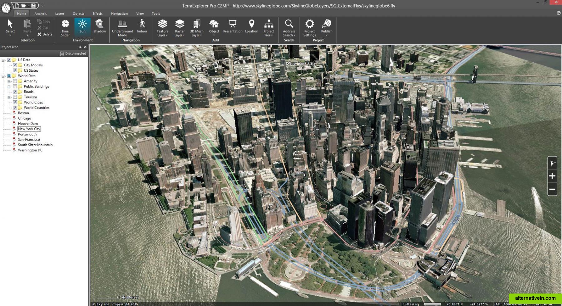
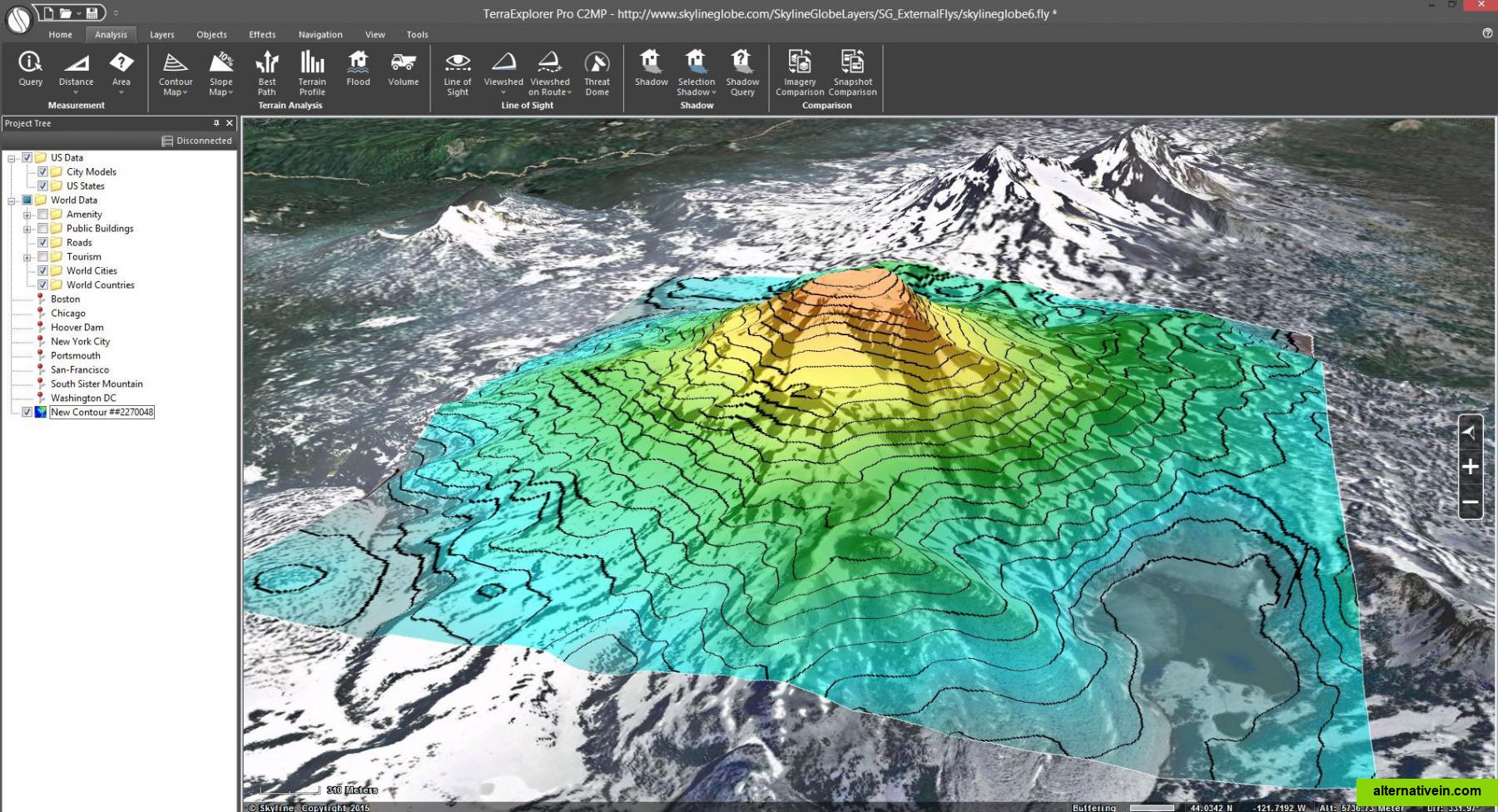
TerraExplorer is a powerful, easy to use tool to build, analyze, and navigate high resolution 3D world environments created by fusing aerial and satellite photography...
- Freemium
- Windows
- Android
- iPhone
- Web
- Windows Mobile
terraexplorer is a powerful, easytouse tool for exploring, editing, analyzing, annotating and publishing photorealistic interactive 3d environments. users can navigate through high resolution 3d world environments created by fusing aerial and satellite photography, terrain elevation data and other 2d and 3d information layers. basic editing capabilities are available as well as advanced terrain analysis tools. when embedded in a skylineglobe web package, the standard terraexplorer viewer serves as a skylineglobe viewer, providing advanced api capabilities.
Links to official TerraExplorer sites
Features
Categories
Tags
terrain-editor 3d-maps terrain-analysis