
21
Like
Sygic GPS Navigation
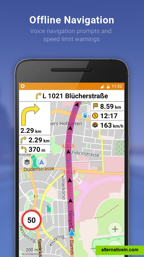
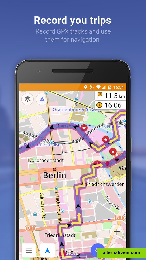
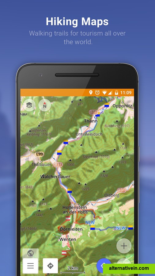
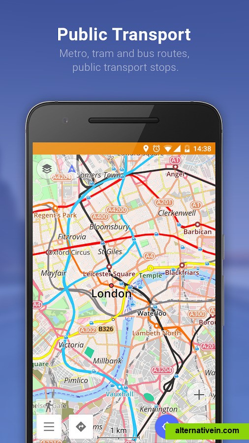
Sygic GPS Navigation & Maps is the most advanced GPS navigation app with 3D offline maps from TomTom, accurate door-to-door voice guided navigation and free map updates. Turns your mobile phone into a personal navigation device.
