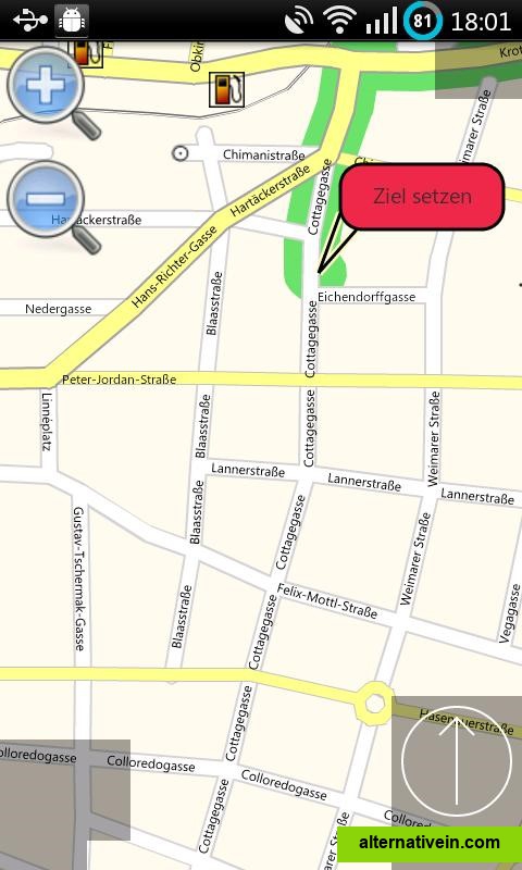
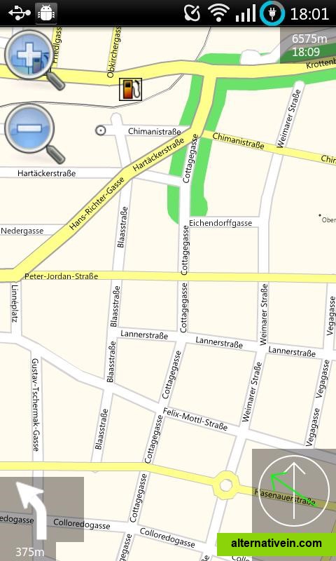
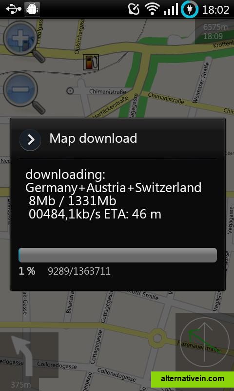
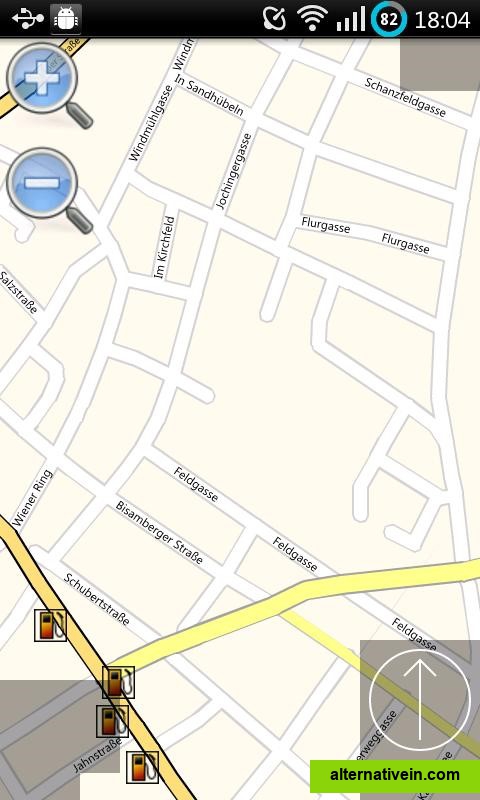
Mobile GMaps
Mobile GMaps displays maps from Yahoo! Maps, Windows Live Local (MSN Virtual Earth), Ask.com, Open Street Map and other sources. MGMaps can connect to a GPS receiver over bluetooth or use internal GPS features.
Navit is an open source car navigation software for Linux, Windows systems and portable devices.
navit is an open source car navigation software for linux, windows systems and portable devices. it will display your position on a map (in birdview mode or as a 3d "visualization") from gps sensor data, and can provide precise route calculation, touch screen functionality and supports points of interest (poi), which can be extended via an easy to use plugin system. unlike other navigation systems, navit maps are dynamically generated in real time from vector data. navit is completely offline and works without an internet connection. navit respects your privacy and does not track your position.
Multiple languages No Internet required Text to Speech Offline maps Based on OpenStreetMap Points of interest (POI)
Productivity Developer Tools Social Travel and Location
multi-language no-internet-required text-to-speech map-viewer offline-maps openstreetmap navigation 3d-maps point-of-interest