Google Maps
Google Maps is a basic web mapping service application and technology provided by Google.
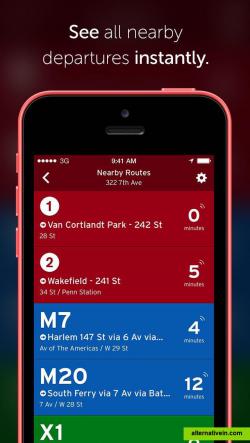
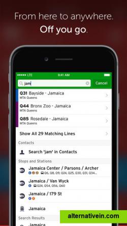
Never miss your bus again. Open up the app and boom: upcoming departure times for all nearby transit lines are right there, displayed in big text and bright colors. Plan your trip, set reminders, and get notified about disruptions.
never miss your bus again. open up the app and boom: upcoming departure times for all nearby transit lines are right there, displayed in big text and bright colors. plan your trip, set reminders, and get notified about disruptions. or maybe public transport isn't cooperating? don't fret: you can easily request an uber, book a car2go, or see where the closest bikeshare station is.
transit works in 100+ cities across north america and europe.
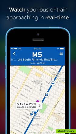
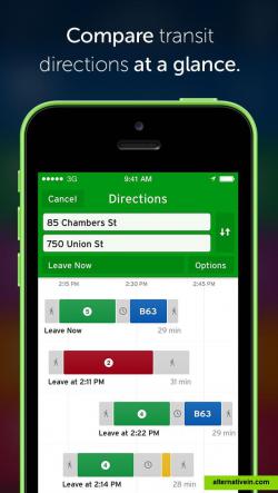
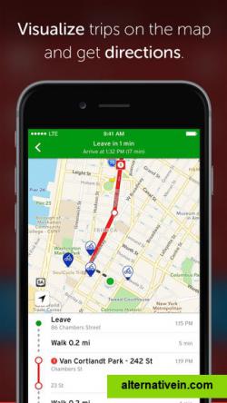
key features know when your next subway or bus is arriving with realtime predictions. plan atob trips with ease. see exactly where your transit vehicle is on the map in realtime. view schedules and route itineraries. even offline. locate bike share stations including how many bikes / docks are available. find nearby car2go's and easily book a vehicle. check realtime etas for the closest uber, and request a ride with two taps. browse realtime service advisories, and subscribe to push notifications for disruptions that may affect your commute (in select cities). schedule alarms and get reminders before your bus or train arrives. enable stop announcements and get notified when you're approaching your stop.
Official Website
Facebook
Twitter
Productivity Developer Tools Travel and Location
uber-integration travel-planner navigation trip-routing public-transit bike-sharing transportation
Google Maps is a basic web mapping service application and technology provided by Google.
Free Android iPhone Android Tablet iPad Chrome OS Web Blackberry Apple Watch
"Citymapper is, quite simply, the best travel app to be introduced to New York City" - New York Times We're reinventing the everyday urban transit app and making the large complicated city simple and usable.
Free Android iPhone Android Tablet Web Apple Watch
Maps gives you turn-by-turn spoken directions, interactive 3D views, and Flyover. All in a vector-based interface that scales and zooms with ease.
Free Mac OS X iPhone iPad Apple Watch
Scout is the only app that lets you chat, plan Meet Ups, share your ETA and get turn-by-turn GPS voice directions. Now you can navigate, coordinate and communicate without the hassle of multiple apps.
Freemium Android iPhone Web Windows Phone Apple Watch
Wikiroutes - public transportation database edited by the community. You can find information about certain routes, optimal routes between A and B in more than 1650 cities worldwide. Also have mobile clients.
Free Android iPhone Web
Maps is your guide to everywhere. Find your way with voice navigation and turn-by-turn driving, transit, and walking directions. Search for places to get directions, business info, and reviews. Download maps to use when you’re offline.
Free Windows Windows RT Windows Phone
Designed to run smoothly on devices with limited memory and on unreliable networks.
Free Android
MonTransit effortlessly brings the most relevant transit information to you, including: - buses, ferries, subways, streetcars & trains schedules (offline &...
Free Open Source Android

