Spotzi
Spotzi is an easy-to-use FREE online GIS/data mapping platform for businesses/professionals. With a short learning curve, people can immediately start with creating maps from data. Spotzi also has a datashop with readymade maps and data.
- Free
- Mac OS X
- Windows
- Linux
- Android
- iPhone
- Android Tablet
- Web
- Windows RT
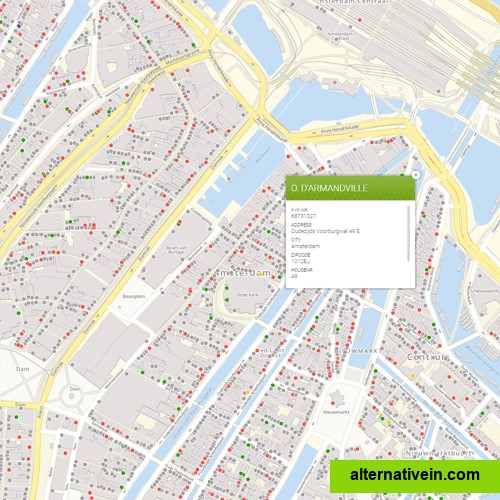
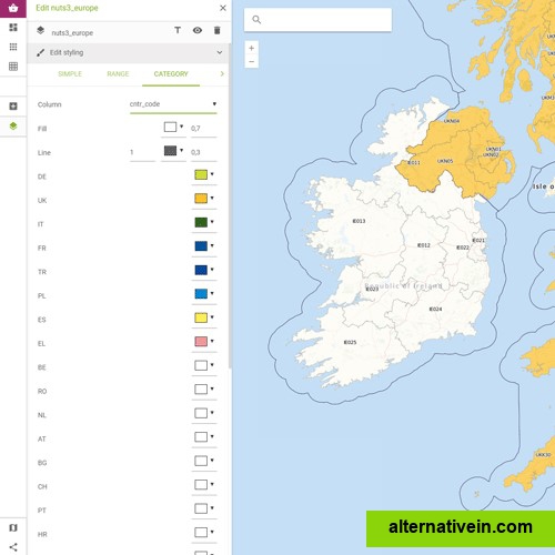
spotzi is a geographical data company that offers a mapbuilder. this is an easytouse free online gis/data mapping platform for businesses/professionals/students. whether you're a experienced/less experienced user. with a short learning curve, people can immediately start with creating maps from data.
spotzi also has a datashop with readymade datasets with boundary data which you can plot on the map. spotzi has datasets in the following categories:
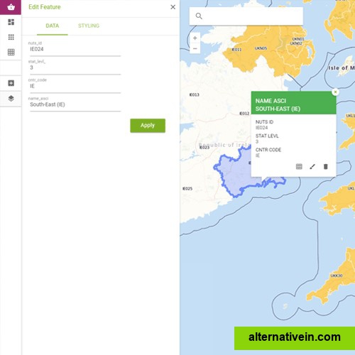
boundaries postal code boundaries municipal boundaries addresses admin areas city boundaries
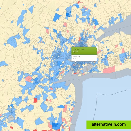
marketing data (on different levels, like admin, census tract, neighbourhood or postal code level) purchasing power consumer spending consumer styles
census demographics (on different levels, like admin, census tract, neighbourhood or postal code level) population (population density, gender, age etc.) households income education immigration labour housing
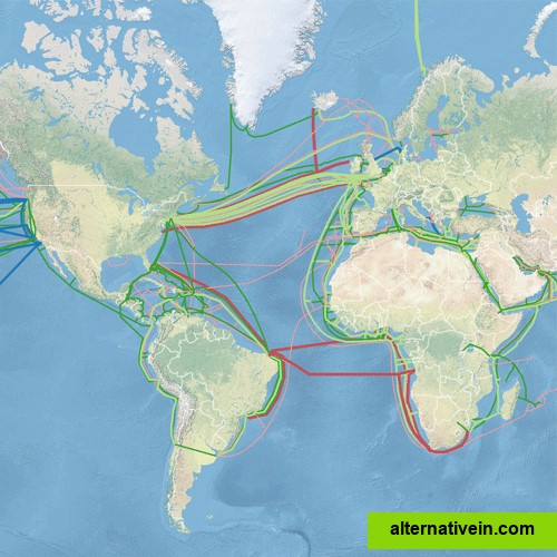
and other dataset about: crime real estate traffic and transporation environment weather and climate travel and outdoor culture economy
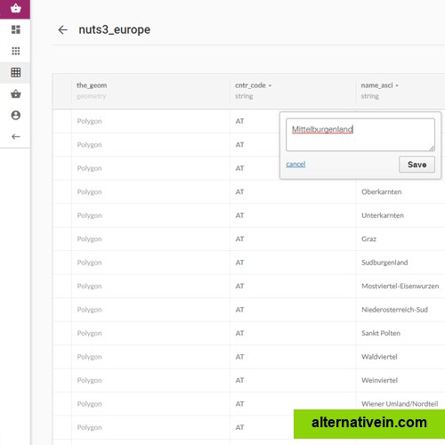
these dataset can be downloaded instantly. simply order the data and it will be made available in your own dashboard. from there you are able to style the map the way you like it and plot your own data on top of this map. it is also possible to get a complete package (monthly fee) with both data and data visualization tools.
to register your free account, please go to:https://spotzi.com/en/
for more information about the mapbuilder and the complete packages, please go to:https://spotzi.com/en/mapbuilderfreemapping/
visit the spotzi datashop:https://spotzi.com/en/maps/bycountry/
Links to official Spotzi sites
Official Website
Twitter
Facebook
Features
Built in editor Location Mapping Interactive map Geospatial analysis
Categories
Productivity Developer Tools Business and Commerce Books News Travel and Location
Tags
database educational maps built-in-editor location-mapping data-visualization data-management big-data data-analysis data-integration mapping navigation interactive-map geocoding gis geographic geographic-data geospatial-applications geographical geodata shapefile sales-territory-maps gis-data-editing geospatial-analysis geographic-analysis location-intelligence sales-territories territory-mapping