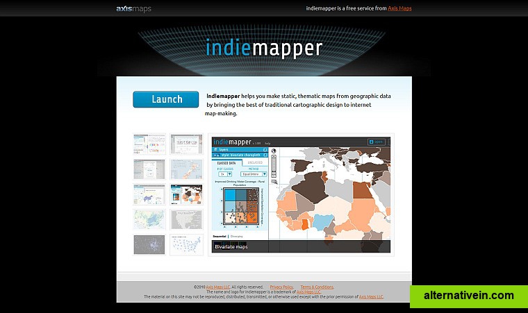
indiemapper
This is an online mapping site that "helps you make static, thematic maps from geographic data by bringing the best of traditional cartographic design to internet map-making." Sponsored by Axis Maps, LLC.
- Free Personal
- Web
this is an online mapping site that "helps you make static, thematic maps from geographic data by bringing the best of traditional cartographic design to internet mapmaking." sponsored by axis maps, llc.
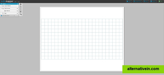
allows: input from the following file formats kml, shapefile, gpx (gps)input can be points, lines, polygonsmaps can be saved in "indiemapper" format (imp)export to jpg/png/svg; multiple layers; choice of projections; choice of a variety of map types; annotations; choose layout for print or screen; guided map building process;
Links to official indiemapper sites
Features
Categories
Productivity Developer Tools Travel and Location
Tags
Discontinued maps mapping chloropleth-maps