Geoconcept
The GEOCONCEPT solution was designed first and foremost to respond to expectations of users who wanted to leverage the power of geographical data to the fullest.
- Commercial
- Windows
- Web
- Self-Hosted
the geoconcept solution was designed first and foremost to respond to expectations of users who wanted to leverage the power of geographical data to the fullest.
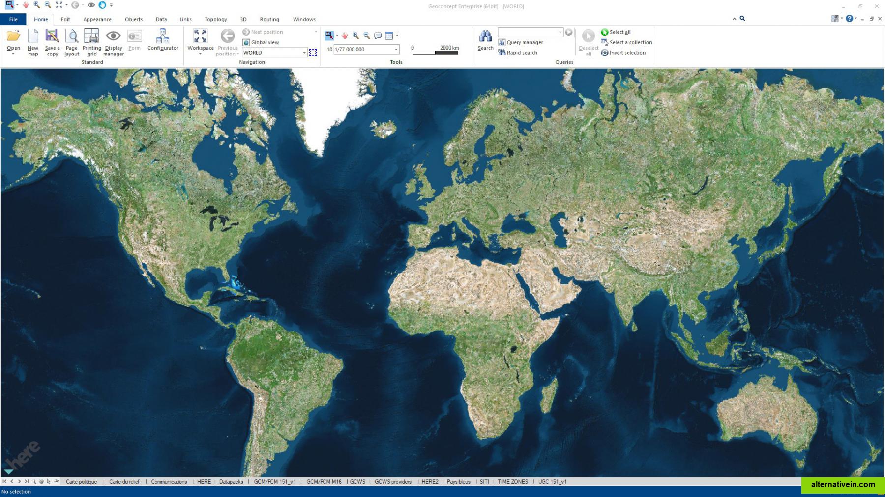
the geoconcept geographic information system (gis) is the central kernel of an advanced range of products relating to spatial data management, the creation and publishing of maps and geographical analyses. geoconcept supports vector and raster data, point, line, surface and text objects. its powerful engine for managing geometric and attributes data of variable sizes, allows to fully exploit complex databases.
Links to official Geoconcept sites
Official Website
Twitter
Facebook
Features
Categories
Productivity Developer Tools Business and Commerce Travel and Location
Tags
optimization mapping geography interactive-map geocoding gis optimisation geographic routing geographic-data geospatial-applications cartography spatial-analyst