ArcGIS
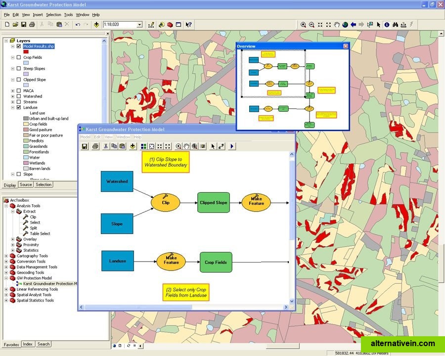
ArcGIS is geographic information system (GIS) software for visualizing, managing, creating, and analyzing geographic data.
- Commercial
- Windows
- Android
- iPhone
- Android Tablet
- iPad
- Web
- Windows Phone
- Windows Mobile
ArcGIS is geographic information system (GIS) software for visualizing, managing, creating, and analyzing geographic data. Using ArcGIS, you can understand the geographic context of your data, allowing you to see relationships and identify patterns in new ways.
The ArcGIS Desktop program has 3 different lincense options: ArcView, ArcEditor and ArcInfo. ArcInfo beeing the biggest.
Links to official ArcGIS sites
Official Website
Facebook
Twitter
Features
Built in editor Interactive map
Categories
Productivity Developer Tools Business and Commerce Travel and Location
Tags
free-storage maps built-in-editor mapping interactive-map gis geographic cartography spatial