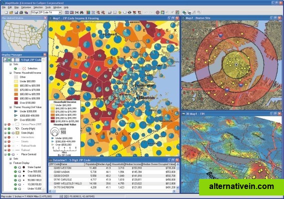
The Best 22 Maptitude Alternatives

  • QGIS

    A fully featured, user friendly, open source Geographic Information System (GIS) with similar power to ArcGIS and MapInfo.

    Free Open Source Mac OS X Windows Linux Android BSD

  • GRASS GIS

    GRASS GIS (Geographic Resources Analysis Support System) is an open source, free software (FOSS) Geographical Information System (GIS) with raster, topological, vector, image processing, and visualization functionality.

    Free Open Source Mac OS X Windows Linux

  • PostGIS

    PostGIS adds support for geographic objects to the PostgreSQL object-relational database.

    Free Open Source Mac OS X Windows Linux BSD

  • ArcGIS

    ArcGIS is geographic information system (GIS) software for visualizing, managing, creating, and analyzing geographic data.

    Commercial Windows Android iPhone Android Tablet iPad Web Windows Phone Windows Mobile

  • SuperGIS

    Supergeo Technologies Inc. is global leading GIS software & total solution provider. With series GIS products covering from desktop, mobile, server to developer SDK, SuperGIS has been utilized more than 100 different countries.

    Commercial Windows Android iPhone Android Tablet iPad

  • gvSIG Desktop

    gvSIG is a Geographic Information System (GIS), that is, a desktop application designed for capturing, storing, handling, analyzing and deploying any kind of referenced geographic information in order to solve complex management and...

    Free Mac OS X Windows Linux

  • uDig

    uDig is a GIS software program produced by a community led by Canadian-based consulting company Refractions Research. It is based on the Eclipse platform and features full layered open source GIS.

    Free Open Source Windows

  • MapWindow GIS

    MapWindow is a fully free and open source geographic information system project. It includes an open source programming component, MapWinGIS ActiveX, and an extensible...

    Free Open Source Windows

  • MapInfo Professional

    MapInfo Professional is a powerful, functionally rich desktop mapping application from Pitney Bowes MapInfo, designed to enable organisations to solve business problems that have a geographical element.

    Commercial Windows

  • SAGA GIS

    SAGA - System for Automated Geoscientific Analyses - is a Geographic Information System (GIS) software with immense capabilities for geodata processing and analysis....

    Free Open Source Mac OS X Windows Linux

  • Spatial Feature Server

    Spatial Feature Server by MapET is an ESRI Geoservices REST Implementation and works with all ESRI Rest API's.

    Commercial Windows

  • Mapserver

    MapServer is an Open Source platform for publishing spatial data and interactive mapping applications to the web.

    Free Open Source Mac OS X Windows Linux

  • ProAlign

    ProAlign provides an integrated suite of web-based and desktop territory analysis and mapping software.

    Commercial Windows Web

  • MapLarge

    Beautiful, User Friendly online mapping software that scales to big data.

    Freemium Windows Linux Web

  • what3words

    Geocoding system for the simple communication of locations with a resolution of 3 m.

    Free Android iPhone iPad Web

  • Manifold

    Manifold GIS is a combination of mapping, CAD, DBMS and image processing.

    Commercial Windows

  • GeoSheets

    GeoSheets is a free add-on for Google Spreadsheets that makes it simple to do lightweight GIS tasks like geocoding, address normalization, distance calculations and creating customized and embeddable maps.

    Freemium Web Google Drive